
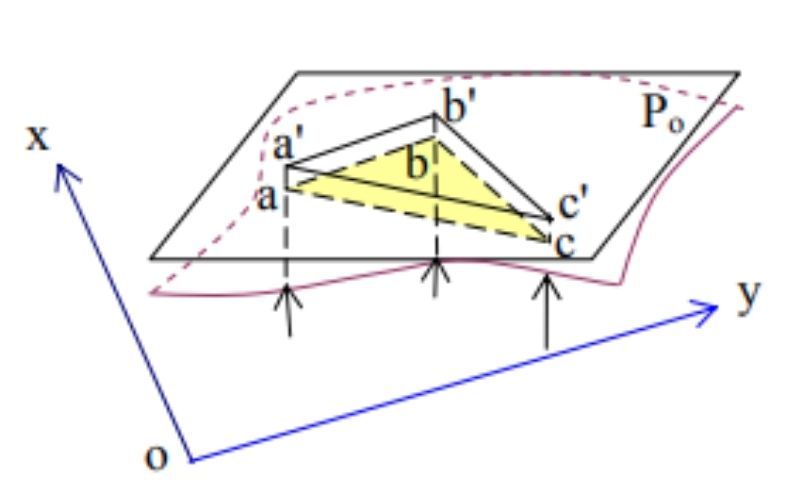
In this article, Tracdiaso would like to share with you the basic information about map projection and geodetic coordinate system.
topographic survey
03
Th1
Th1
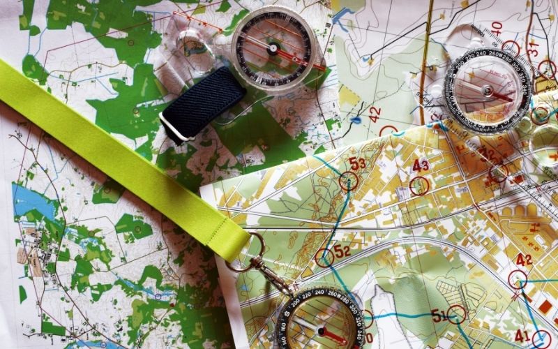
In the process of conducting surveying or studying geodetic materials, you will most likely encounter English geodetic and cartographic terms and specialized terms.
03
Th1
Th1
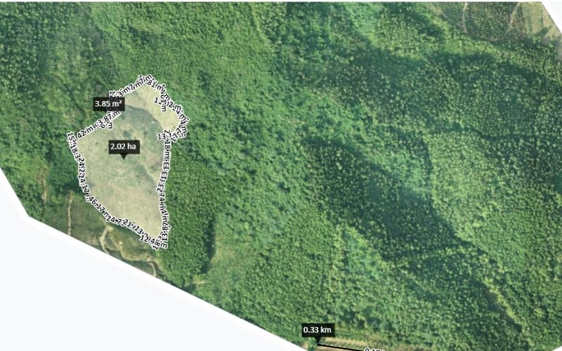
Learn more about drone flying. Tracdiaso geodetic measurement in Nghi Son – Thanh Hoa area by UAV.
03
Th1
Th1
In this article, Tracdiaso would like to share with readers the concept of digital surveying as well as an introduction to surveying services in Thai Binh.
03
Th1
Th1
In this article, Tracdiaso would like to share with readers basic information about the most prestigious surveying and mapping company in the North.
03
Th1
Th1
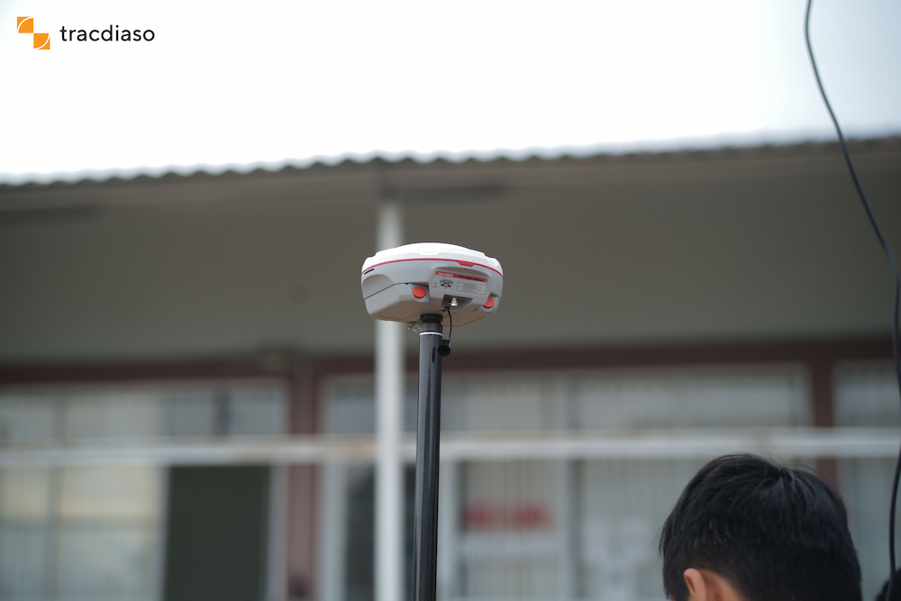
GPS RTK geodetic machine is a measurement technology with the ability to measure details at large distances, fast measurement speed, and minimize the influence of measurement errors on measurement results. The actual measurement time is only 1/3 and the manpower is 1/2 of the measurement method using an electronic total station.